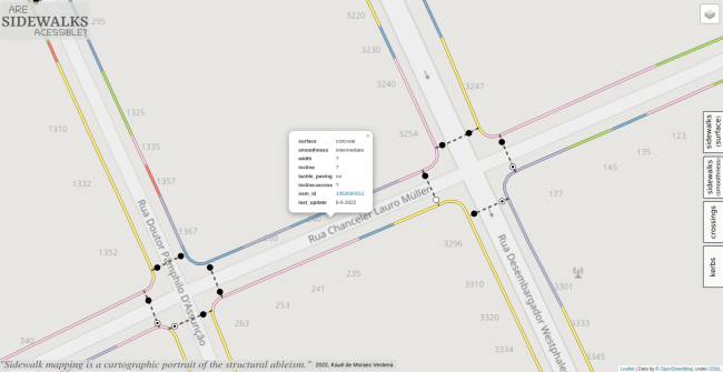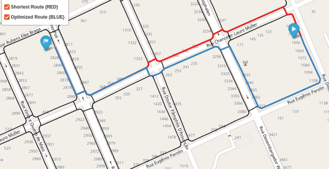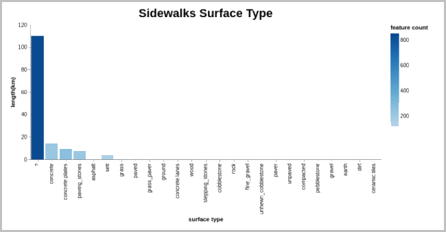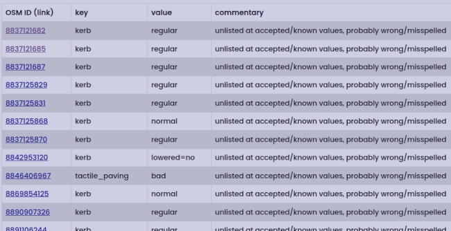
OpenSidewalkMap:
Curitiba
(each module is presented
here)
OSWM is a
decentered
and
modular
project
The main goal is to access the
(each module is presented
here)
(You can check their updating status and download data here)
OSWM is a
decentered
and
modular
project
to manage the
pedestrian networks
of cities using OpenSteetMap data!
The main goal is to access the
pedestrian network level of
- ACCESSIBILITY -
- SECURITY -
- COMFORT -
and take care of the data!
you can create sidewalk geometries automatically with
OSM
SidewalKreator QGIS Plugin
and then import with JOSM
we love
to map for
pedestrians
since 2022, by
Kauê de Moraes Vestena
as part of my PhD work at UFPR
this work is funded by CAPES
Source is code referred at:
GitHub


